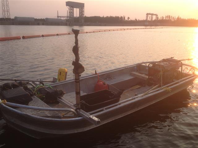
Side scan sonar surveys provide acoustic images of the seabed and the submerged part of structures and works such as wrecks, dykes and dams, pipelines, etc. This method produces images similar to aerial photographs, showing topographical changes in the seabed, as well as details of objects submerged over a large area, regardless of the turbidity of the water. Digitally recorded data includes position information. We use specialized software to create high-resolution mosaics from recorded data spanning a large area of the seabed. This system works equally well in rivers and lakes as it does at sea. Side scan sonar applications: Classification of sediments on the seabed; Identification of obstacles / objects at the bottom of watercourses; Hull inspection; Inspection of underwater structures (pipeline, bridge pillar, dam, etc.); Submarine search and rescue. Side scan sonar can be used to conduct surveys for maritime archeology; in conjunction with seabed samples it is able to provide an understanding of differences in material type and seabed texture. Side scan sonar imaging is also a commonly used tool to detect items of debris and other obstacles on the bottom that may be hazardous to navigation or to the seabed for oil and gas industry facilities. . Additionally, the status of pipelines and cables on the seabed can be investigated using side scan sonar.