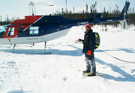
The geological radar or ground penetrating radar is a geophysical technique allowing to obtain information on the subsoil, to make the evaluation of the pavements and the detection of buried objects in a very short time and with an unequaled resolution. This system is commonly used in civil engineering to perform auscultation of concrete in order to map the conduits and reinforcements located inside a slab. Ground penetrating radar can also be used for profiling rock or other geological layers and is also useful for mapping the thickness of asphalt pavements on roads as well as in parking lots.